SPRIMONT (BE) - 2012-01-30 12:26:08
- Magnitude 1.2
Last update : 2012-04-27 16:39:30 Belgian time
Main parameters
| Date and time |
2012-01-30 12:26:08 UTC
2012-01-30 13:26:08 Belgian time |
| Type | Known mine explosion |
| Magnitude | ML 1.2 |
| Region | SPRIMONT (BE) |
| Epicentral coordinates | 50.534° N, 5.740° E Uncertainty ± 3.8 km |
Data source : ROB (Royal Observatory of Belgium)
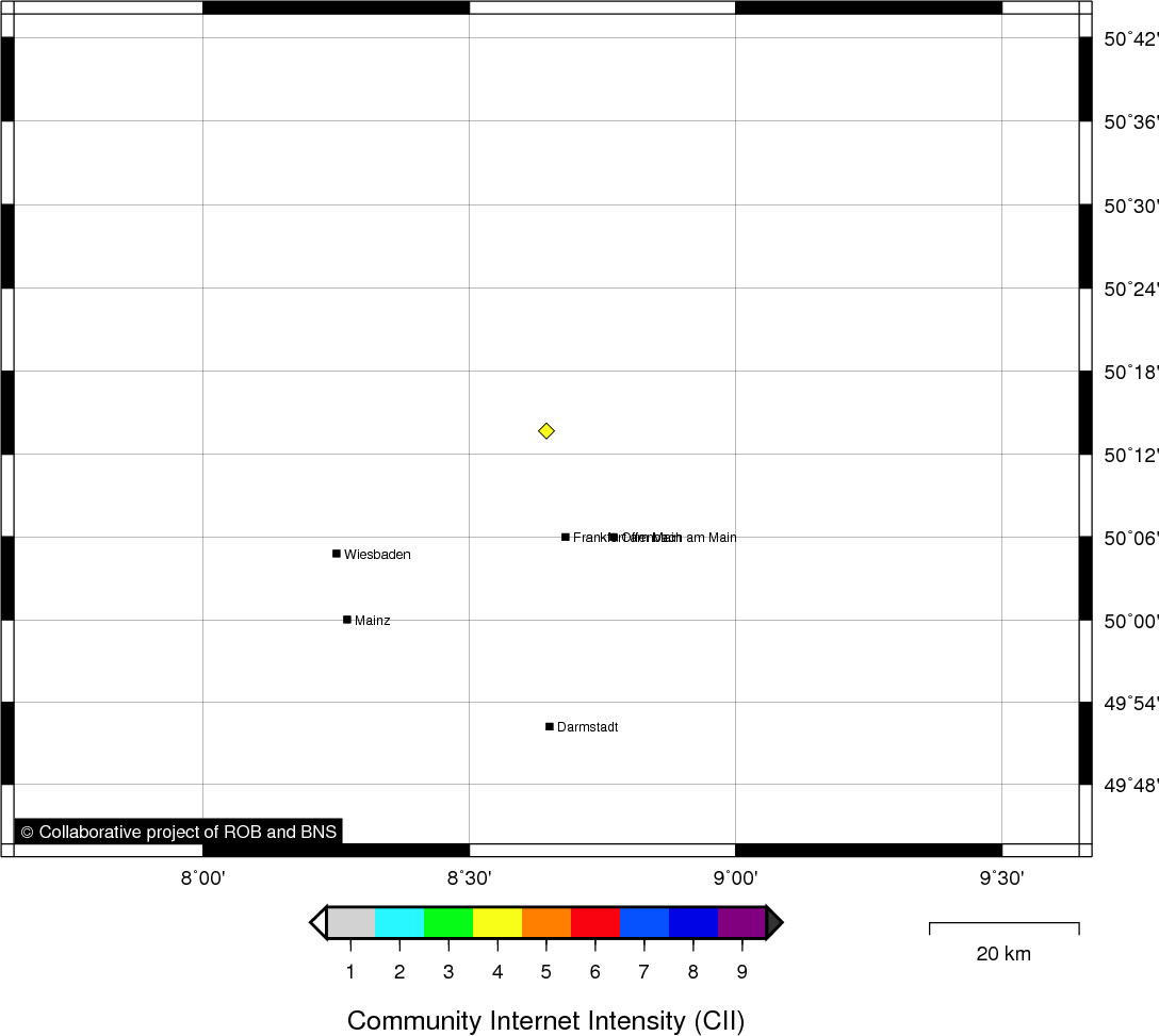
Location map
Quake measurements
Measurements by the Belgian seismic network
| Station | Epicentral distance (km) |
P-Wave arrival (hh:mm:ss.ss) | S-Wave arrival (hh:mm:ss.ss) | Maximal ground displacement (nm) |
|
|---|---|---|---|---|---|
| Code | Place | ||||
| STI | SART TILMAN | 14 | 12:26:09.72 | 12:26:11.52 | - |
| MEMS | MEMBACH | 21 | 12:26:11.83 | - | - |
| MEMH | MEMBACH | 21 | 12:26:11.89 | - | - |
| LCH | LA CHARTREUSE | 15 | - | 12:26:12.08 | - |
| CLA | CLAVIER | 33 | 12:26:13.83 | - | - |
| GES | GESVES | 49 | 12:26:16.56 | - | - |
| RCH | ROCHEFORT | 56 | 12:26:17.90 | - | - |
Macroseismic
Data
| Total number of responses | 1 |
|---|---|
| Intensity IV | 1 |
Attention! The intensities derived from the macroseismic enquiry are raw unverified data.
Map
Data policy
Please read on this notice to learn more about our data policy.